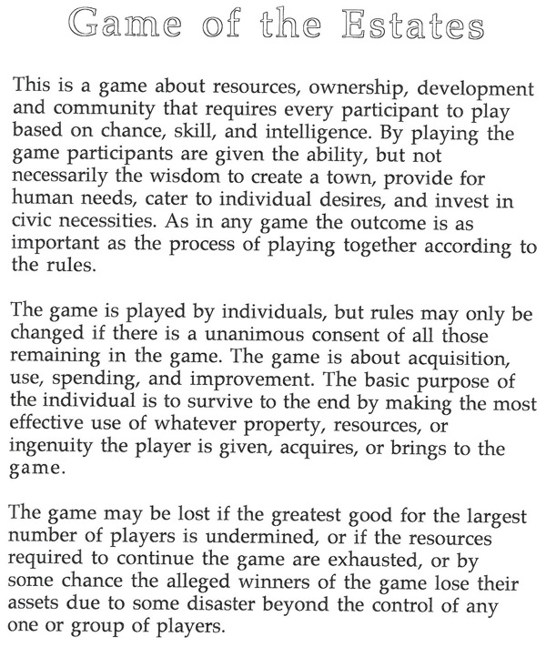
The Game of the Estates
This is a game we will start to play — in an effort to engage the class in seeing the structure, strengths and weaknesses of the Jeffersonian land-system adopted in 1785 by the Articles of Confederation congress and expanded on in the U.S.A. from 1789 until 1888.
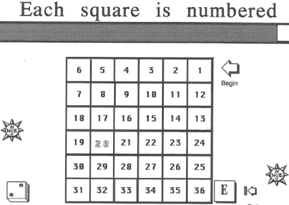
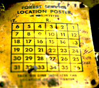
One Township is six miles square or thirty six sections: count them.
But to do so you must have already done the writing assignment on William Byrd or taken a test on the Marshes of the Ocean Shore book or contrasted with Emerson descriptions of early America.
The appropriate links to consider are:
What is the character of the United States land system?
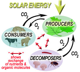
What is land?
How to play
Select any number between 1 and 36 (with two alternatives) to start play.
Game board is shaped based on the township and range system of the nation:
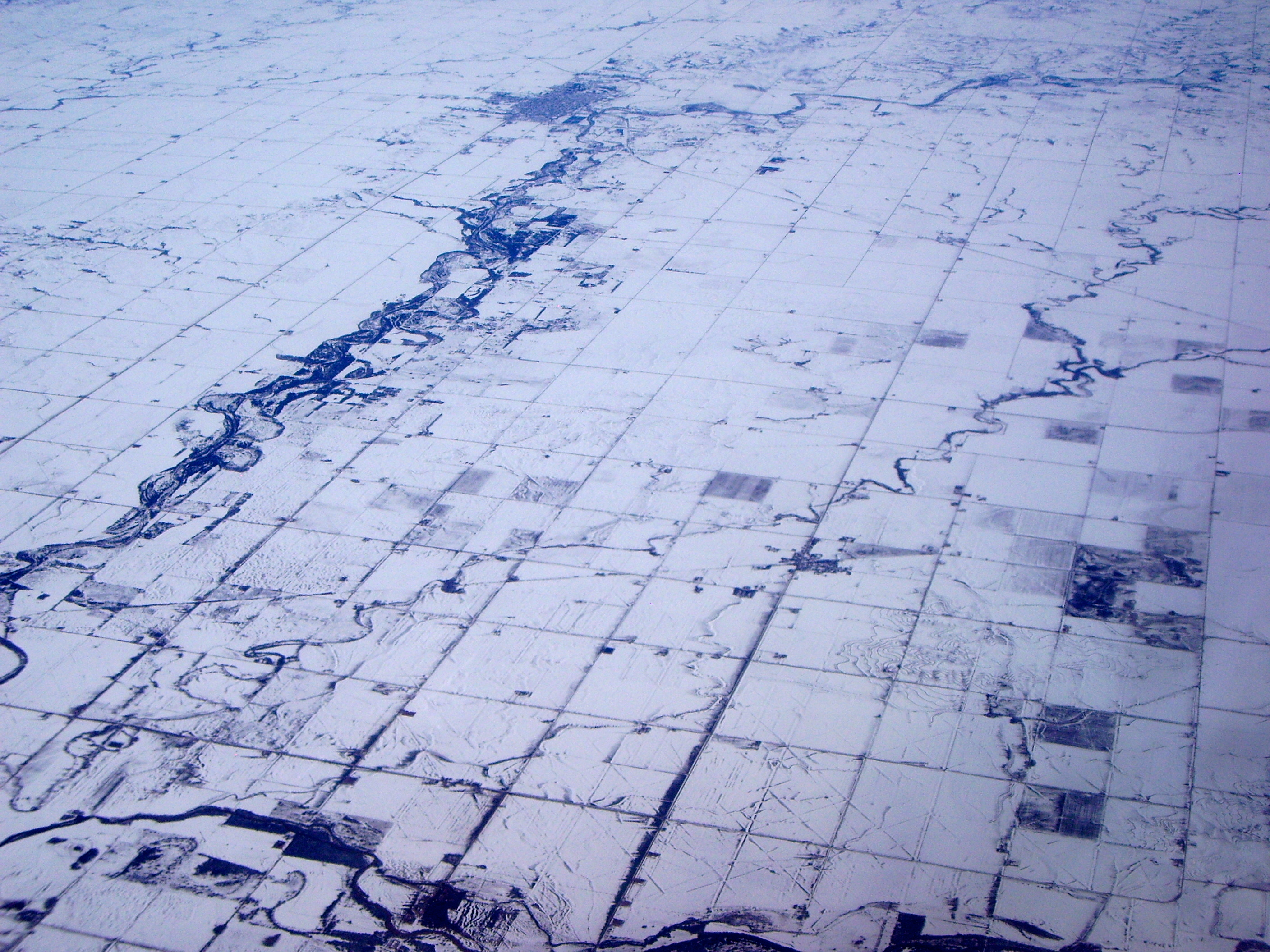
Much like William Byrd of Westover who went with the survey party to the Virginia and North Carolina boundary line, the actual conditions on the ground are often very different from what we may imagine.
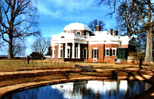
Thomas Jefferson's home in Monticello, the Virginia piedmont region, reflected.
Each number you pick will correspond to a section and if you are granted that section, based on the readings you will be able to claim the land and do with it what you can given the geographical constraints.
Based on the links above, this web site, and the readings you are able to do with your parcel whatever the geography, law and ambition allow you to do.
A Township was derived from the New England settlement experiences. Each township is six miles on a side, or thirty-six square miles. That means every section is one square mile. The sections are numbered 1 to 36 below.
6 |
5 |
4 |
3 |
2 |
1 |
|
7 |
8 |
9 |
10 |
11 |
12 |
|
18 |
17 |
16 |
15 |
14 |
13 |
|
19 |
20 |
21 |
22 |
23 |
24 |
|
30 |
29 |
28 |
27 |
26 |
25 |
|
31 |
32 |
33 |
34 |
35 |
36 |
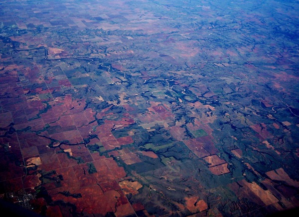
Now compare the above grid with the actual conditions on the ground.
Go to Grover's Corners.
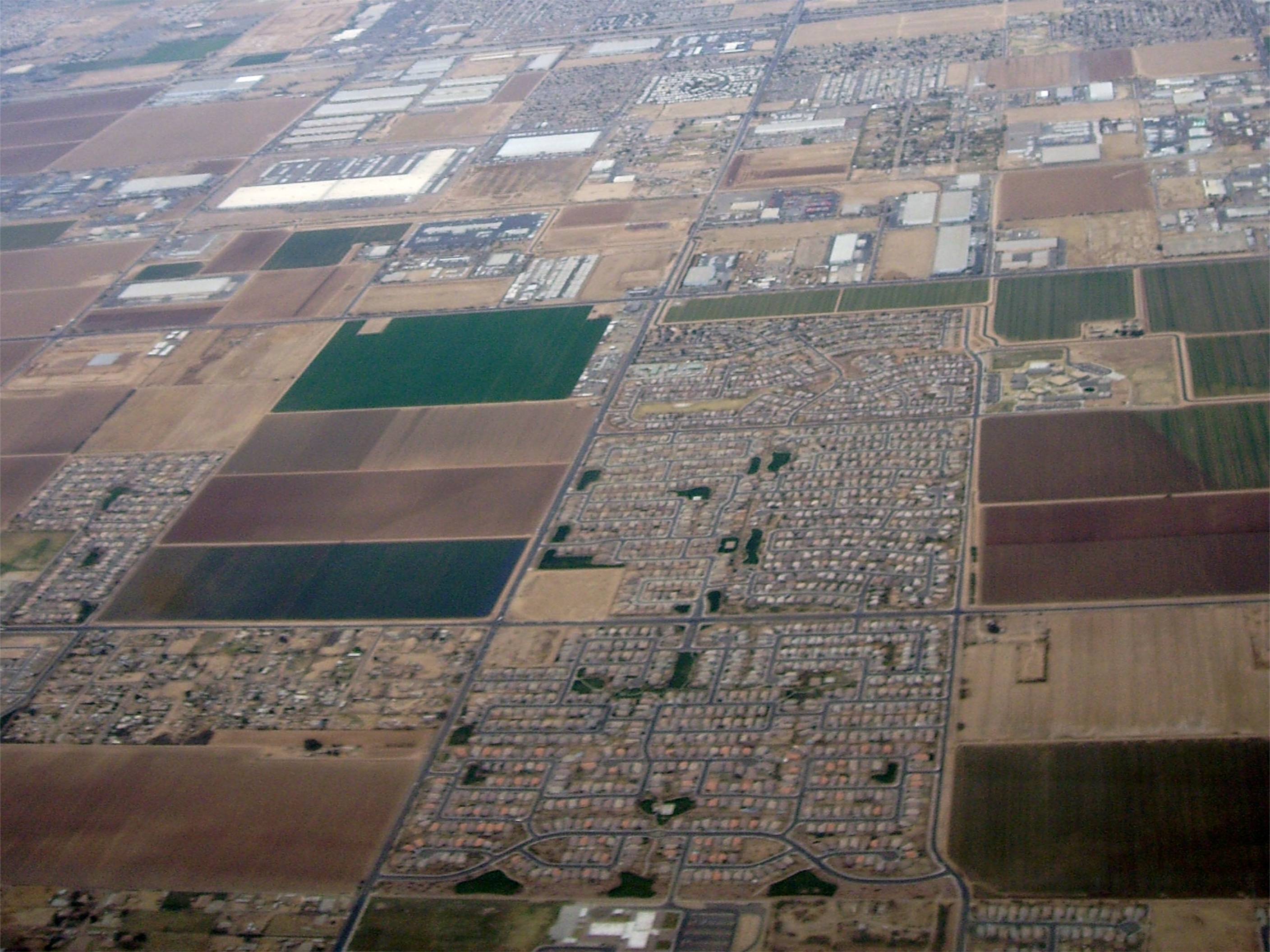
Farming and residential sections are show side by side in the above photograph of of Arizona.