Antilles geography: Using Historical Maps of Central and South America.

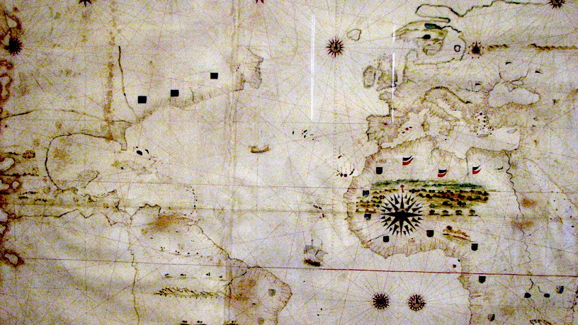
Verrazano World Map of 1529
Map of the "Indies"
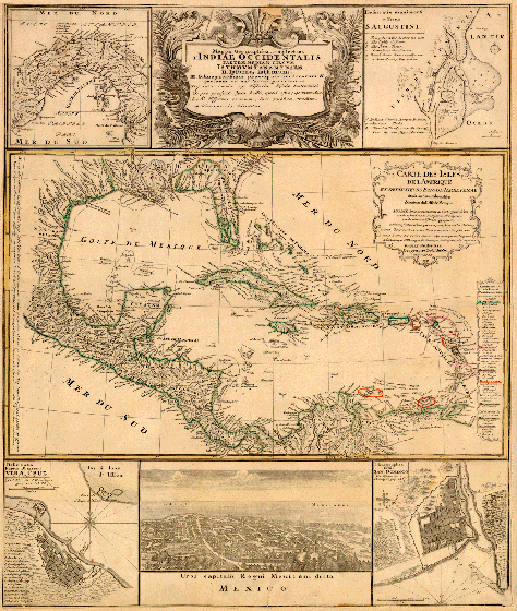
From the Colonial period; 1730s
Dividing up the world Spain & Portugal seek a treaty from Borgia Pope.
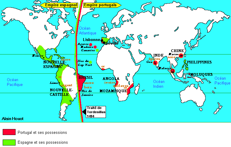
In 1494 the original division was moved west.
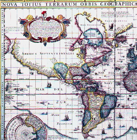
The 1590 map of the twin America's.
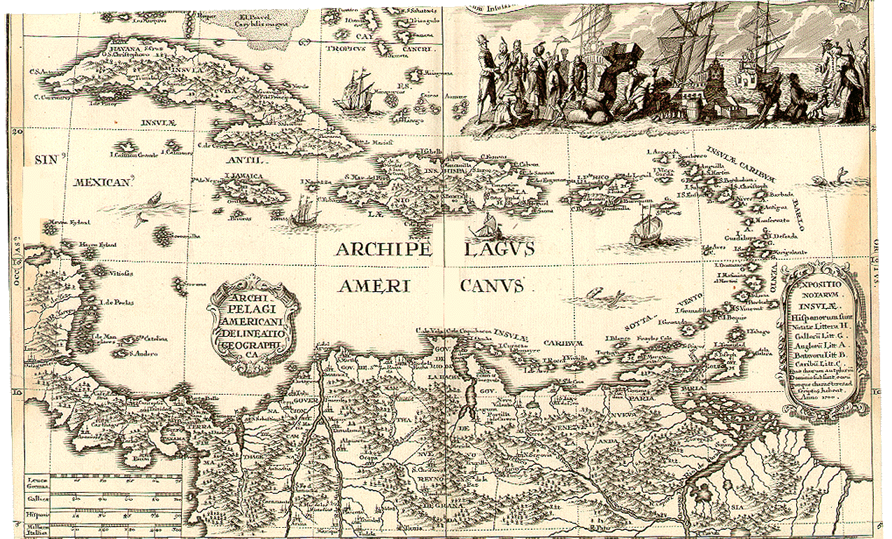
"Archipelagus Americanus" in 1700.
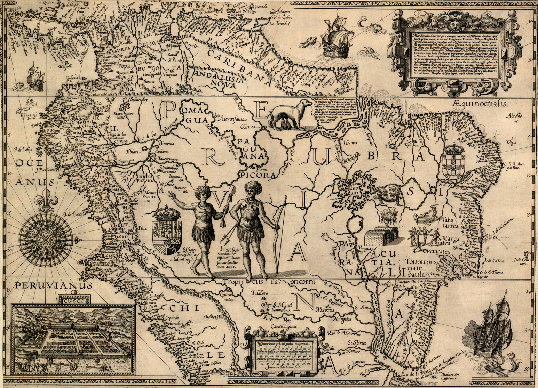
"Caribana" as part of "Peruviana" circa 1585.
"History is a dialogue between the living and the dead. An historical perspective is shaped by the conversation we have with the parts of the past that make sense to us. These events are meaningful to us because of the impact they have on current affairs. The outcome of this discussion about our past informs the present. That means that by seeing the past behind the facade of current events we become more connected to our culture and that natural world from which it is repeatedly drawn. By our talking to one another, each of us participates in creating the means by which the past remains alive in the present to influence our future."
Mexico
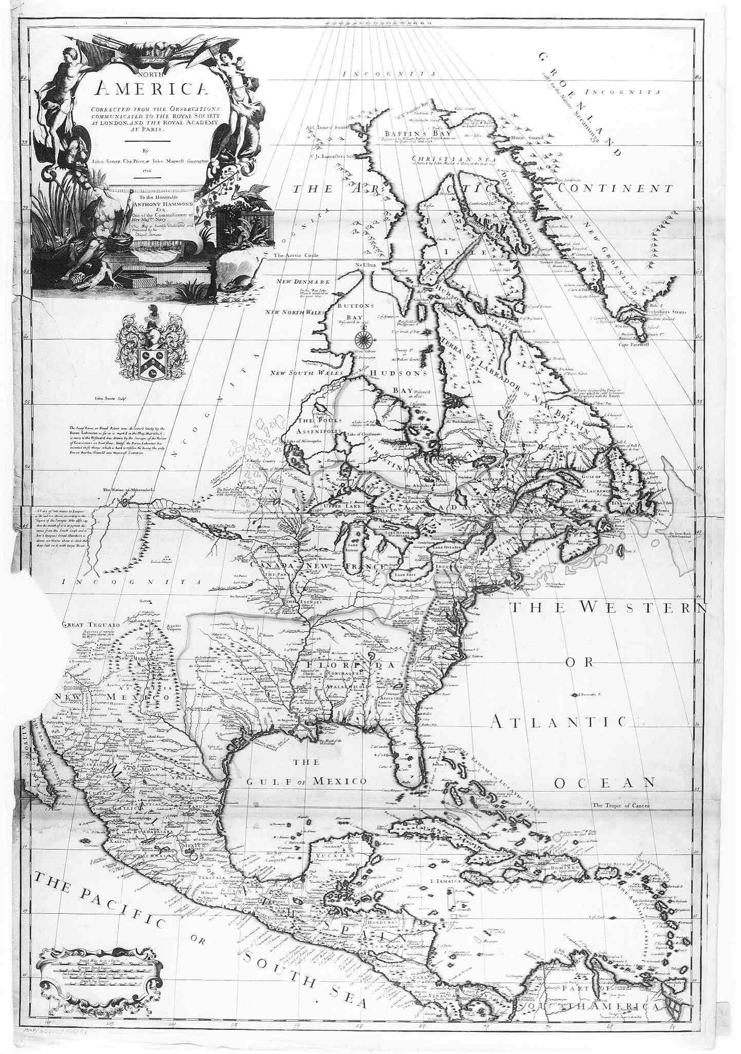
A 1710 map showing Mexican, Oaxacan and Guatemalan highlands of New Spain.
A 1658 map showing the political divisions of the Americas among Spain, Portugal, France and other European maritime powers.
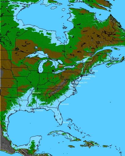
The future of sea level rise.
J Siry, 1990