| America's regions: | |
|---|---|
|
|
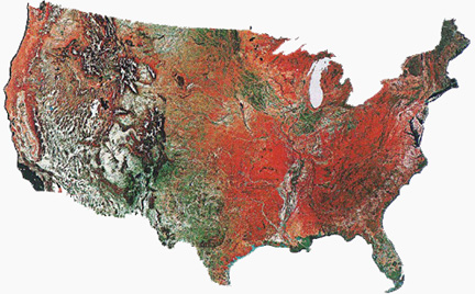
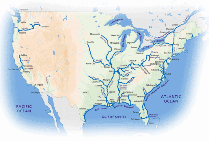
| The vegetation patterns in infrared spectrum | Predominant water systems |
| Tidewater | |
|---|---|
| Piedmont | |
| Appalachian plateau | |
| Ohio River Valley | |
| Great Lakes | |
| Mississippi Valley | |
| Great Plains | |
| Rocky Mountains | |
| Great Basin | |
| Sonoran Desert | |
| Sierra Nevada Range | |
| Great Central Valley | |
| California Coast | |
| Pacific Northwest | |
| Puget Sound | |
| Columbia River Valley | |
| North Pacific Coast | |
| Alaskan Coast | |
| Yukon River Valley | |
| North slope / Arctic Coast |
Eastern Seaboard |
 |
|---|---|
| Tidewater | |
| Piedmont | |
| Appalachian plateau | |
| fall line | |
| Ohio River Valley | 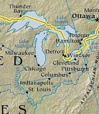 |
| Great Lakes | |
| Cumberland plateau | |
| Mississippi Valley | 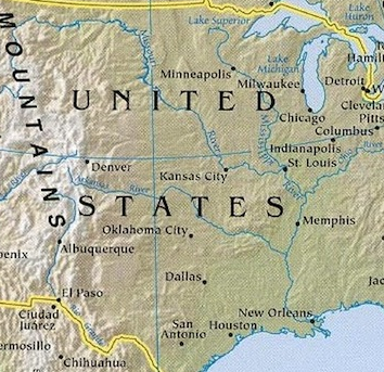 |
| Great Plains | |
| High Plains | |
| Gulf Plain | |
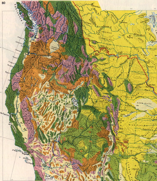
Western |
|
 |
|
| Rocky Mountains | |
| Great Basin | |
| Sonoran Desert | |
| Sierra Nevada Range |  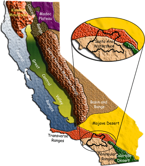 |
| Great Central Valley | |
| California Coast | |
| Pacific Northwest | 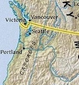 |
| Puget Sound | |
| Columbia River Valley | |
North Pacific Coast |
|
| Alaskan Coast | 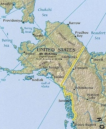 |
| Southeast Alaska | |
| Yukon River Valley | |
| North slope / Arctic Coast |