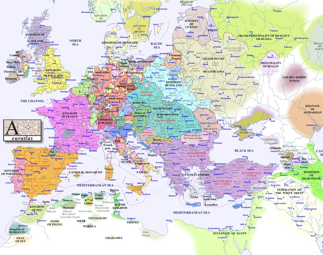
A European view of the world in 1530

Daniel's Dream, 1535 ?, Germany, maker unknown.
A European view of the world in 1530
Daniel's Dream, 1535 ?, Germany, maker unknown.
Also known as the "Wittenberg World Map," this map was based on the prophecy from Chapter 7 of the book of Daniel, which speaks of "the four winds of the heaven...and fourgreat beasts [which] came up from the sea."
Certain theologians at Wittenberg interpreted this dream as a foretelling of the victory of the Turks at Mohacs in 1526, and the image remained popular for several decades after. This particular version of the map was taken from a German Bible printed in 1535, where it was used as an illustr ation for the Book of Daniel. The first impression of the map was made around 1530, by the printer Hans Lufft.
Yale University; Specialty Maps
January 23, 2005, 4:04 PM.
Europe in 1500