Maps and scale
| Maps | continents | cities |
|---|---|---|
| scale | Small-scale mapping | large-scale mapping |
|
|
|
|
| depicts | large areas | small areas |
These terms are inversely related to what they represent in the landscape:
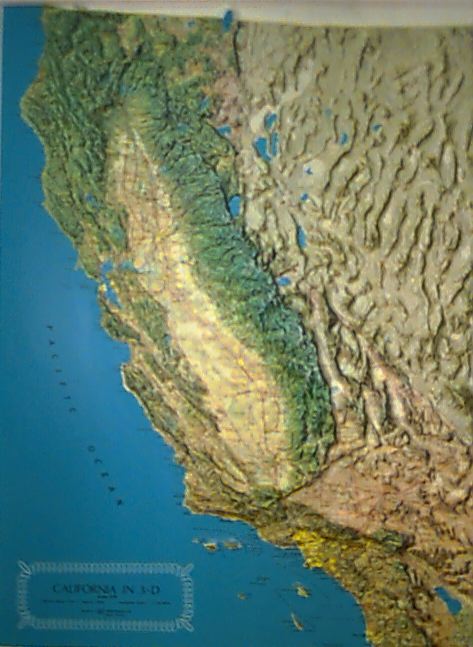
small-scale map - a map that represents geographical features so that they appear small and less detailed in comparison to other maps; frequently used to show large features, such as countries and continents, so that they appear on a single sheet of paper.
Small-scale mapping - Mapping at a scale smaller than about 1:1,000,000, although the limiting scale sometimes has been made as large as 1:250,000.
landscape - a collection of natural and cultural features that characterize a particular district or region; a portion of the earth's surface that can be taken in from a single viewpoint at ground level
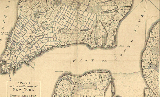
large-scale map - a map that represents geographical features so that they appear large and detailed in comparison to other maps; usually used for maps of relatively small areas, such as cities and towns, or for plans of buildings
• Small-scale mapping) Mapping at a scale smaller than about 1:1,000,000, although the limiting scale sometimes has been made as large as 1:250,000.
www.ew2008.org/matlab/toolbox/map/app_a2.html
• a map that represents geographical features so that they appear small and less detailed in comparison to other maps; frequently used to show large features, such as countries and continents, so that they appear on a single sheet of paper
www.newberry.org/k12maps/glossary/index.html