 Global Ecology
Steps in site identification:
examples | features | historical preservation | density values | assessment table
These steps in identifying significant architectural features,
geographical components or structural aspects of a site can be used for any landscape, seascape, cityscape, or countryside.
When assessing the relative merits, worth, or competing advantages of a development, preservation or management of an area the first step is to identify those features on the terrain, in the landscape and adjacent geographical settings that have significance.
Inventory
is a listing of objects that are different in shape, form, function, appearance or behavior.
A feature is any distinguishing characteristic, artifact, structure, natural or artificial creation that distinguishes a site from all other sites
| Table of significance | ||||
| values | Social processes: | Natural resources: | Scenic beauty: | Ecosystem services: |
| Features | ||||
| 1 | ||||
| 2 | ||||
| 3 | ||||
| 4 | ||||
| 5 | ||||
| 6 | ||||
| 7 | ||||
| 8 | ||||
| 9 | ||||
| 10 | ||||
List a recognizable feature and describe what it does or how its function contributes to one of the above categories.
For each feature described award it a point if it has a descriptive aspect explained under either social, natural, scenic, or ecosystem values. Re-rank the features from the most numerous identifiable values to the least.
Primary and Secondary landscape values
Assessment
16 identifiable landscape values isolated as maps of composite
features comprising each value.
Primary
- Slope, surface drainage, soil drainage,
- bedrock foundation, soil foundation, erosive capacity,
- land values, tidal inundation,

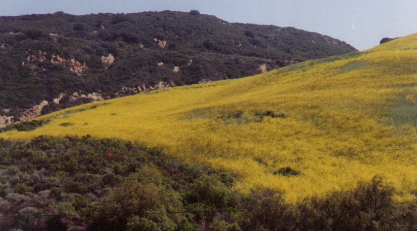
Monterey shale formation along the Santa Ynez Mountain escarpment, Santa Barbara County, California
Old Sturbridge Village; a preservation of pre-industrial land use patterns in hamlets and a living museum of village life, Massachusetts.
Table of primary and secondary values with a high degree of use relative to little or no use.
| Owner: | Sun Angle: | Altitude: | |
| Site description: | location: | Longitude: | |
| Latitude: | |||
 |
|||
| Colorado River at Nankoweep Mesa, Arizona. | |||
| Values |
High |
Medium |
Low |
descriptive context |
| slope | ||||
| surface drainage | ||||
| soil drainage | ||||
| bedrock foundation | ||||
| erosive capacity | ||||
| land values | ||||
| tidal inundation | ||||
| historic values | ||||
| scenic values | ||||
| Recreational | ||||
| Water values | ||||
| Forest values | ||||
| Wildlife values | ||||
| Residential values | ||||
| Institutional values | ||||
| Overall rating |
Use, here suggests a function or behavior that can be identified as providing some benefit in a clearly identifiable context.
 “In
highway design, the problem is reduced to the simplest and most commonplace
terms: traffic volume, design speed, capacity pavements, structures, horizontal
and vertical alignment.”
“In essence the method consists of identifying the area of concern as consisting
of certain processes in land, water an air, which represent values. These can
be ranked...”
page 34
The above uses of highways as transportation corridors has led to widespread, low density, and automobile dependent travel characteristic of suburban sprawl.
Competing values must be inventoried and described before they can be compared and contrasted.
For example a steeply sloping ridge may have low value for building, low surface drainage potential and soil drainage. But its bedrock foundation may be of medium value, with high erosive capacity (it is readily eroded), low land value, but high scenic value.