

Grover's Corners, is a township (much like "Springfield.") anywhere USA.
North
South
The dark lines are rivers, dark grey areas are the mountain forests and medium grey are rolling hills, while light grey is swamp forest.

Section 20 is the town's urban setting, that once looked like the drawing and today resembles this photograph:
The scene here is of Main Street in this village of "Utopia," in Grover's Corner Township.
While most of the landscape resembles:
The mountains are pretty impressive:
Scene looking due north from Grover's Corner's: "Utopia" the incorporated village adjacent to the forested foothills also seen here.
But not from a distance, you need to get up close:
Mountain forests are the sources of the township's water supplies for all purposes.
Rivers form natural levees along the extent of their banks due to seasonal flooding.
Rural landscape along the river levee.
Photograph of swamp and over-flow land as a transition from water to a forested ecotone.
Write a 300 word description of landscape you think corresponds to the number of the parcel you would like to own. Should you be fortunate in the auction we hold in class you could own the parcel you describe.
Game Rules to the Estates of Grovers Corners.
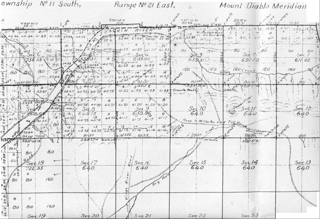
Below is an actual survey map, or plat map of the San Joaquin Valley in California, photographed above.
 A little more than half of a township is revealed on this map above.
 |
√ The Worst Hard Times |
√ Marshes of the Ocean Shore |
|
| √ Bulldozer in the Countryside |