Sprawl
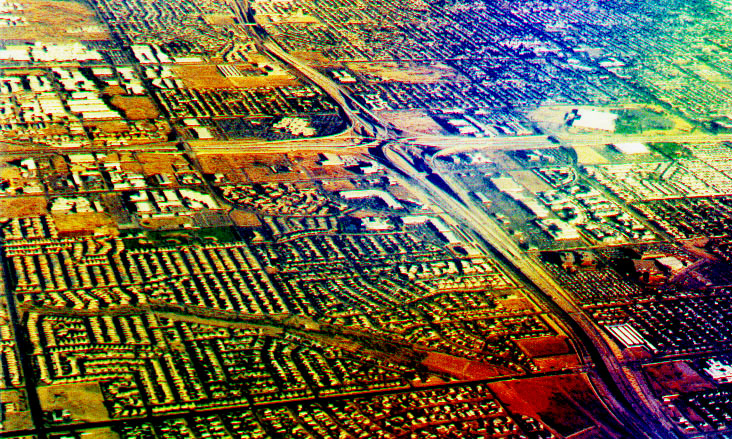
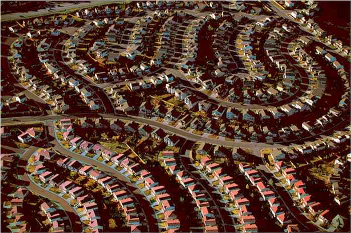
San Gabriel Valley east of Los Angeles, original sprawl suburbs 1960; Denver suburban single-family tract home developments, 2000.
Sprawl is defined as comparatively low density urban, suburban, or exurban populations that are so spread out that automobile transportation is competitive with buses for the movement of people to and from their homes.
A pejorative term suggesting an ongoing expansion of an urban or industrial, metropolitan area into an extensive adjoining countryside in ways that alter water flow and temperatures, in addition to being perceived as distant, disorganized, and unattractive, despite zoning and access to community services.
Current Data United States population is about four percent [4.46 %], or less of the entire world:
U.S. 313,536,141
World 7,013,083,259
at 11:54 UTC (EST+5) May 13, 2012
Source: United States Census Bureau's population clocks
Since every person in the USA consumes the equivalent of 10 to 12 acres of land per year to sustain their level of consumption, the impact of this population on soil, air, water, and land is substantial.
Historic national population trend.
Sprawl Compared with Population Growth in USA's Ten Largest Sprawling Cities (1970-1990)
Population of the ten most spread out metropolitan areas in the nation in 2000.
| Places | % Growth in Urbanized Area Per Capita | % Growth in Land Consumption |
| 1. Atlanta, GA |
42% |
84%
|
| 2. Houston, TX |
26%
|
73% |
| 3. New York City, NY-NJ |
24%
|
–1% |
| 4. Washington, DC-MD-VA |
41%
|
36% |
| 5. Philadelphia, PA-NJ |
48%
|
5% |
| 6. Los Angeles, CA |
–8% |
37% |
| 7. Dallas- Fort Worth, TX |
–15%
|
59% |
| 8. Tampa- St. Petersburg- Clearwater, FL |
13%
|
98% |
| 9. Phoenix, AZ |
–18%
|
132% |
| 10. Minneapolis-Saint Paul, MN |
21%
|
22% |
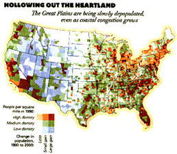
Highest density populations and the sprawl that is shown in brown on the map are typical of Arizona and many of Florida cities.
Source:
U.S. Census Bureau data Read the Full Report Back to Charts & Graphs of Census Data Copyright 2000.
Planning Commissioners Journal: Sprawl focus
NASA study of urbanization and ecological impacts.
Lake Tahoe, California-Nevada.
April 8, 2015
|
|
|
|
|