 Survey
system of the United States
Survey
system of the United States Survey
system of the United States
created grid-like land patterns in public land states.
Kansas & California | Suburban San Fernando Valley | Colorado River Valley | Land
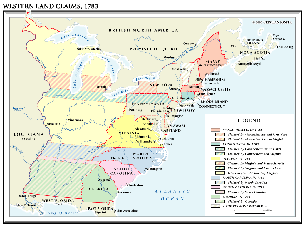
In order for the Land Ordinance of the United States to take effect the largest states along the coastal areas had to forfeit their claims to western lands.
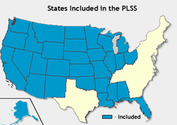
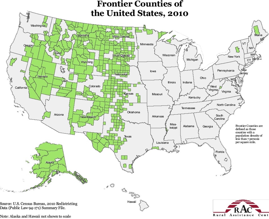
Colored in blue are the public land states where the land survey system was used.
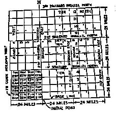
The Township and Range system was land survey method used to rationalize boundaries and permit easy recording of land sales to replace the litigious Colonial system that prevailed before 1785.
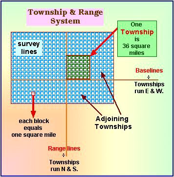

The square patterns seen here are rational expressions of the desire for order in the 1780s when the national land-use system was adopted by the Articles of Confederation Congress, 1785.
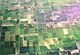
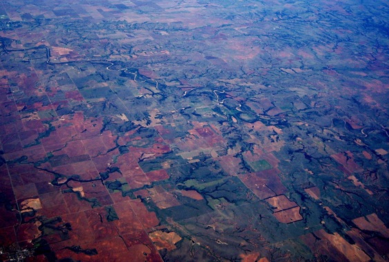
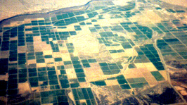
Land patterns central Kansas | San Joaquin Valley, California
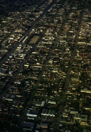
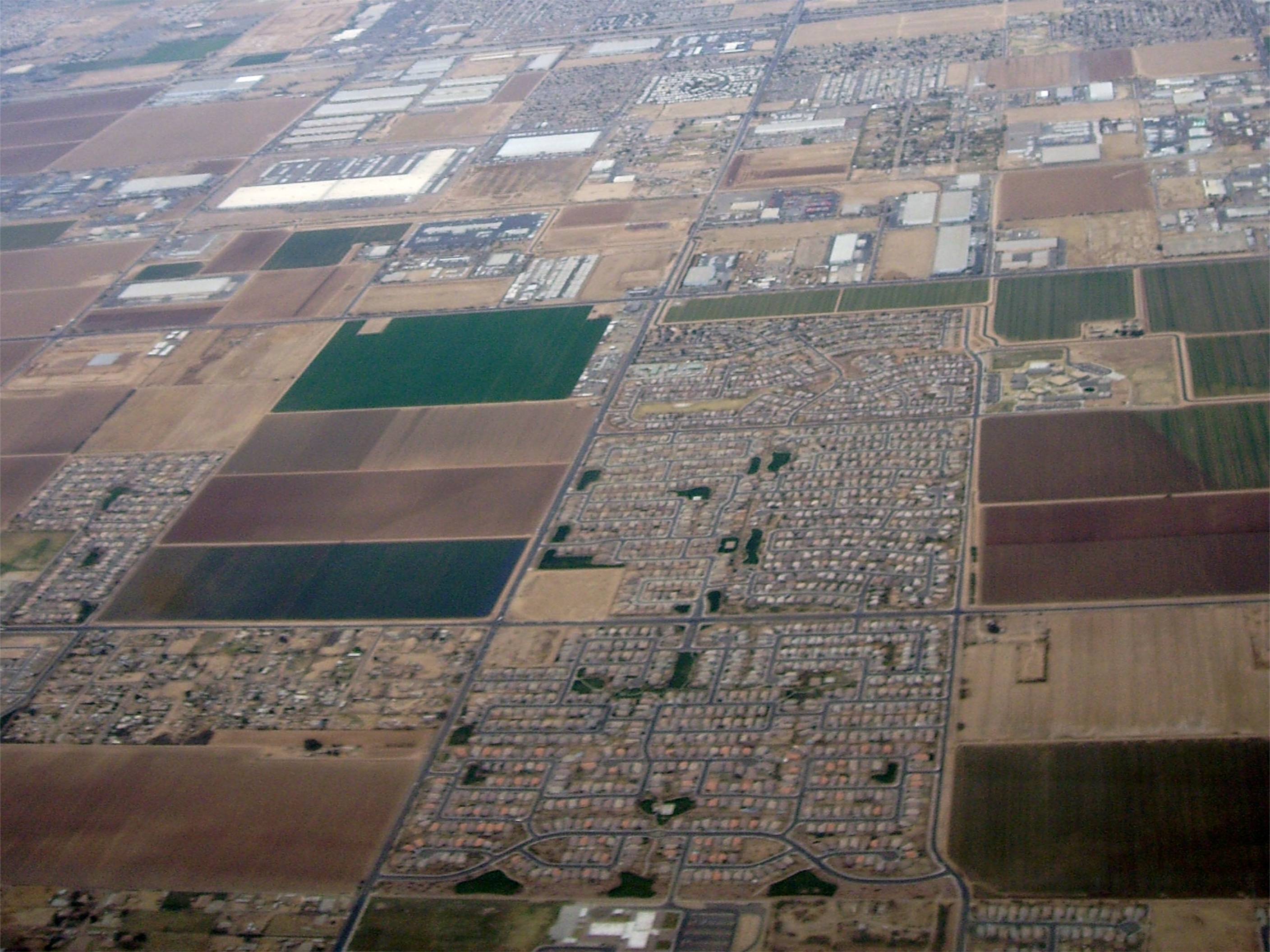
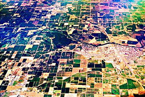
San Fernando Valley, Los Angeles, California (1998) compared to Arizona suburbs from the air (2012).
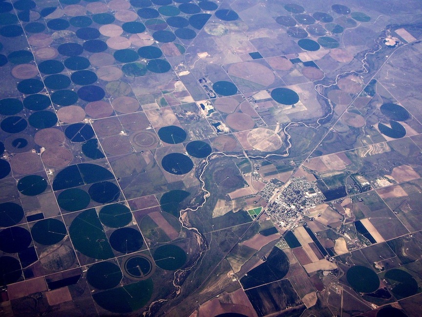
Irrigation in the southern Colorado River Valley, California & Arizona (1999).
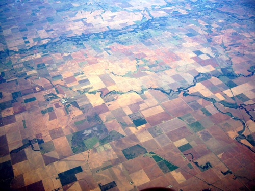
The regular, land grid system , pattern on the terrain of the Prairies and Great Plains.
The pattern of squares.
Kansas & California | Suburban San Fernando Valley | Colorado River Valley | Land
This blocked space below is a navigational search aid:
Ecology | laws | quick look
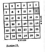
Game of the Estates | Township description example
Science Index | Population Index | Global Warming Index | Nature Index | Research sites.
Word index | Terms | Glossary | Word webs | Basic vocabulary | Advanced Vocabulary | Antonyms | Synonyms
Writing | Interviews | Free Writing