 View sheds
 Navigating the site:
Design requires us to redefine features in any terrain or on any property with respect to their primary (always present) or secondary (can be present) functions.
What is a viewable watershed or viewshed?
A woodland and meadow landscape combines a primary topography with secondary elements, features, and structures.
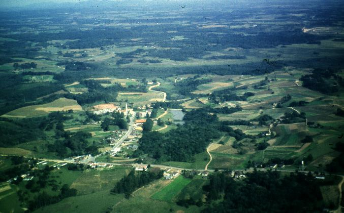
The consistency of any area derives from the features and elements of the surrounding conditions. Here wooded areas of variable sizes are separated by fields. Those fields are either left fallow, or cultivated. An element in this setting is the rolling topography with forests or woodland features. The transportation features are two intersecting roads in the bottom part of the photograph. A woodland and meadow is an apt description of this area because patchy prairie and wooded features are interspersed with few if any water elements save fro a small lake in the center foreground of the photograph.
An example of different approaches to describing a land area's inherent opportunities:
Significance worth value functions outcome sacred transcendent ritual observances redemptive utilitarian instrumental market exchange commercial systemic services dynamic renewal re distributive
Landscapes possess inherent limitations that shape whatever opportunities humans derive from the use of the surrounding vegetation, animal life, or available minerals. The different approaches to what landscape offers is suggested in the above table. Material, spiritual and ecological approaches to the landscape differ with respect to what features are considered worthy of using carefully, based on the function people hope to derive from the features and elements of the surroundings.Primary (in the sense that they are always present)
Secondary (only in the sense that they may or may not be present)
- Social | historic values, scenic values, recreational values,
- Natural | water values, forest values, wildlife values,
- Cultural | residential values, institutional values.
What exactly is a watershed?
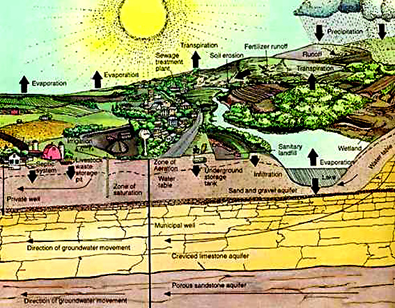
Water exists in three states (vapor, liquid and frozen) and moves in three ways,
slope, angle, or angles at which the terrain lies in relation to the shape of the basin. The relief relative to high and low points of a place or property
surface drainage, the direction to where water runs off (direction and intensity) within the area and watershed.
soil
drainage, the porosity of the overlying material that makes up the
ground.
bedrock foundation, the underlying (parent rock) material consistency based on geology, weathering and climate.
soil foundation, the soil profile or characteristics, can be done by the soil conservation service.
erosive capacity, or susceptibility to erosion (any evidence of such on the property?)
In the schematic on the left the relation between a forested and deforested slope is depicted as a transect from the top of the ridge to the base of the stream bed in the river basin.
land values, what the area is used for -- i.e. agricultural, commercial, residential, open space, riparian, woodland.
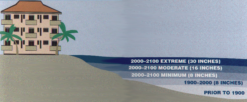
tidal inundation, the susceptibility of the land, vegetation and features to forces of the ocean's tides.
 |
|
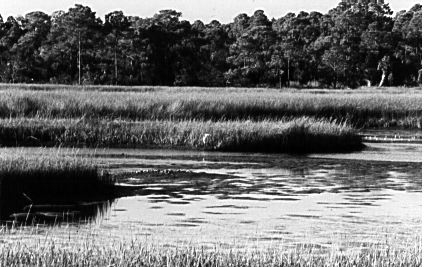
| Low tide marsh and mud flats at the mouth of the Weeki Wachie River. | Incoming tide in salt marsh along Weeki Wachie River. |
- Social | historic values, scenic values, recreational values,
- Natural | water values, forest values, wildlife values,
- Cultural | residential values, institutional values.
historic values, meaning the heritage involved in old (50 years or more) buildings, structures, neighborhoods or sites.
 |
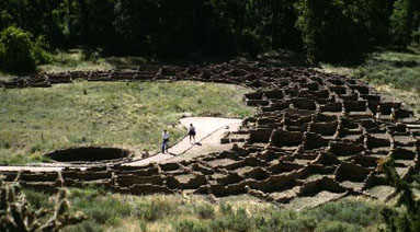 |
| Clapboard, stick style vernacular home in Key West | Anasazi adobe ruins in Bandolier National Monument |
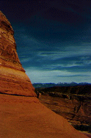
scenic values, the picturesque, aesthetic, or sublime qualities inherent in a settings or placement of an areas features.
recreational values, the potential for a variety outdoor activities from passive to spectator and active sports.
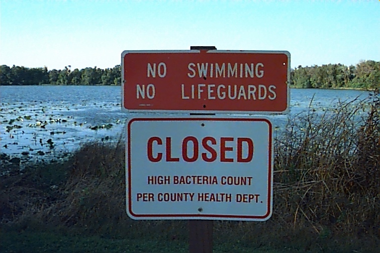
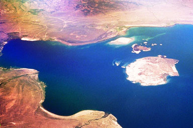
water values, the functional qualities involved in the timing and distribution of water by such features as wetlands, bogs, aquifers, lakes, streams, creeks, springs, recharge areas, flood plains, beaches, swales or swamps.
 |
|
| An artificial reservoir in the Olympic Mountains provides water for Tacoma. | Mono Lake in the high desert East of the Sierras provides water for Los Angeles. |
forest values, the types, varieties and sizes of tree species their distribution and intermixing for a variety of uses from habitat for associated species to watershed protection, timber production, fuel wood or medicinal uses of related vegetation.
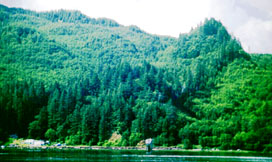
Along the banks of the Columbia River the blanket of forested land acts as a watershed as well as providing a source of renewable timber, if wisely harvested.
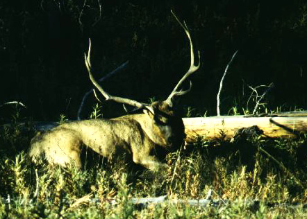
wildlife values, the faunas and herd associations, or animals that frequent, live in, hunt or raise their young in specific places.
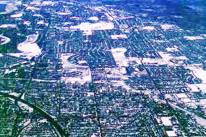
residential values, the density of dwellings per acre and the types of living areas for communities to thrive.
| A half-timbered English residence in Coalbrookdale. | Denver; an aerial view of the residential suburbs north and east of the urban core. |
institutional values, those uses that are identified as common necessities of society such as schools, hospitals, police, fire, airports, stadiums, water treatment plants, or railway terminals.
Pictured here is the Grand Teton dam in the
National Park on the Snake River. The dam is used for irrigating sugar
beet fields in arid regions of Idaho.
Norris Hundley writes about the incentives for irrigation in his study of California, The Great Thirst, "Another strong incentive for developing new farmland in the 1960s came from the federal tax code. It allowed investors to deduct as business expenses their development costs this prompting them to rush new fields into production as soon as the water became available." p, 229.
"By the late 1970s, there were 1251 major reservoirs in California, … And yet all of those rivers and reservoirs satisfy only 60 percent of the demand."
"…they may well conclude that our temples were dams."
"As is the case with most western states, California's very existence is premised on epic liberties taken with water -- costly water that fell as rain on the north and was diverted to the south, thus precipitating the state's longest-running political wars."
"In Arizona, 87% of the water consumed goes to irrigation…."
Mark Reisner, Cadillac Desert, pp. 9-17
"Long the mythic land of new beginnings, it is now a region heavily encased in its past."
"What has been done there with water and land. . . has had consequences
for the people as well."
"Concentrated power and hierarchy based on the command of scarce
water."
Donald Worster, Rivers of Empire, p. 329.
- Social | historic values, scenic values, recreational values,
- Natural | water values, forest values, wildlife values,
- Cultural | residential values, institutional values.

