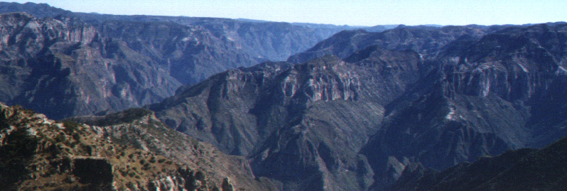
Divisadero, Copper Canyon Mexico, JVS; 2004.
![]()
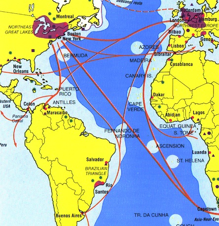
Caribbean Map Index for Ecological History
description | bioregion | indigenous peoples | density | geology maps | Medieval bastide | commerce
![]()
These maps and photographs are to accompany the Caribbean environmental history course and explain the geographical aspect of the European conquest of the region, South, and North America.
"History is a dialogue between the living and the dead; and among the living about the dead.
An historical perspective is shaped by the conversation we have with the parts of the past that make sense to us. These events are meaningful to us because of the impact they have on current affairs. The outcome of this discussion about our past informs the present. That means that by seeing the past behind the facade of current events we become more connected to our culture and that natural world from which it is repeatedly drawn. By our talking to one another, each of us participates in creating the means by which the past remains alive in the present to influence our future."
J Siry, 1990
Navigating the site:
![]()
On the web:
return to previous page
Among the earliest civilizations of Mesoamerica tied the Caribbean Sea to the Pacific Ocean in southern Mexico.
Otherwise, "central Mexico lay under the hegomony of the Aztecs."
Crosby, Germs, Seeds, and Animals. p. 45
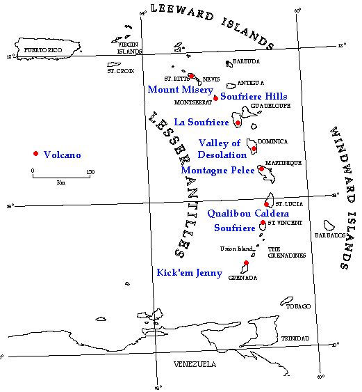
The greater Caribbean Bioregion's remaining forests:
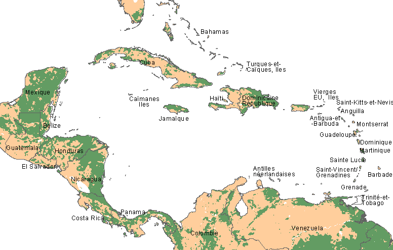
Forest cover in the Antilles bioregion
![]()
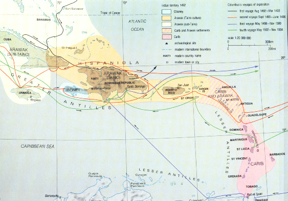
Native or indigenous people of the Antilles
![]()
People per square mile in the Caribbean Basin compared to the Americas.
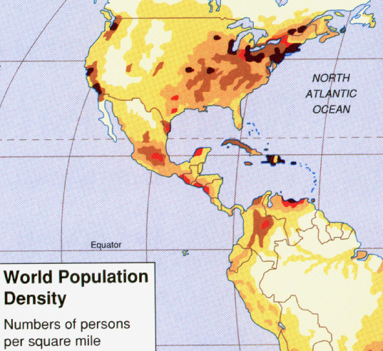
The density of population remains higher in the Caribbean basin in all but a few other places.
![]()
![]()
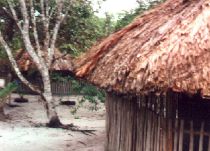 Arawakan
family home, in Guyana
Arawakan
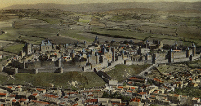
family home, in GuyanaCité de Carcassone, a "bastide" or walled city in France from the middle ages.
"The important thing is to not stop questioning, curiosity has its own reason for existing."
Terms | Glossary | Word webs | Basic vocabulary | Advanced Vocabulary
Science
Index | Site Analysis | Population
Index | Global Warming Index | Nature
![]()